


Land & Property Assessment
Intelligent assessment of land, property and portfolios for decision making on acquisition, feasibility, planning, development, optimising land use and decommissioning.


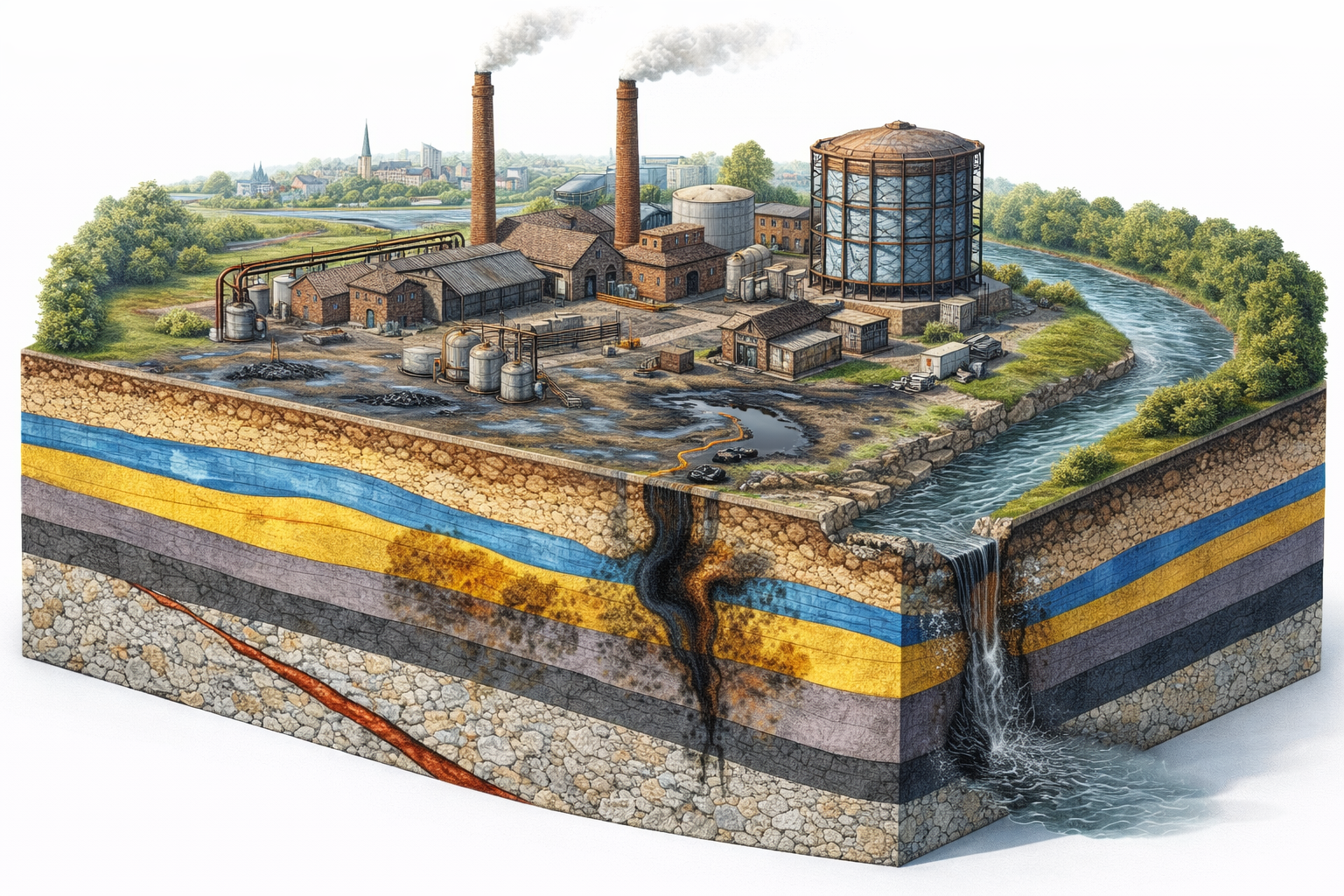
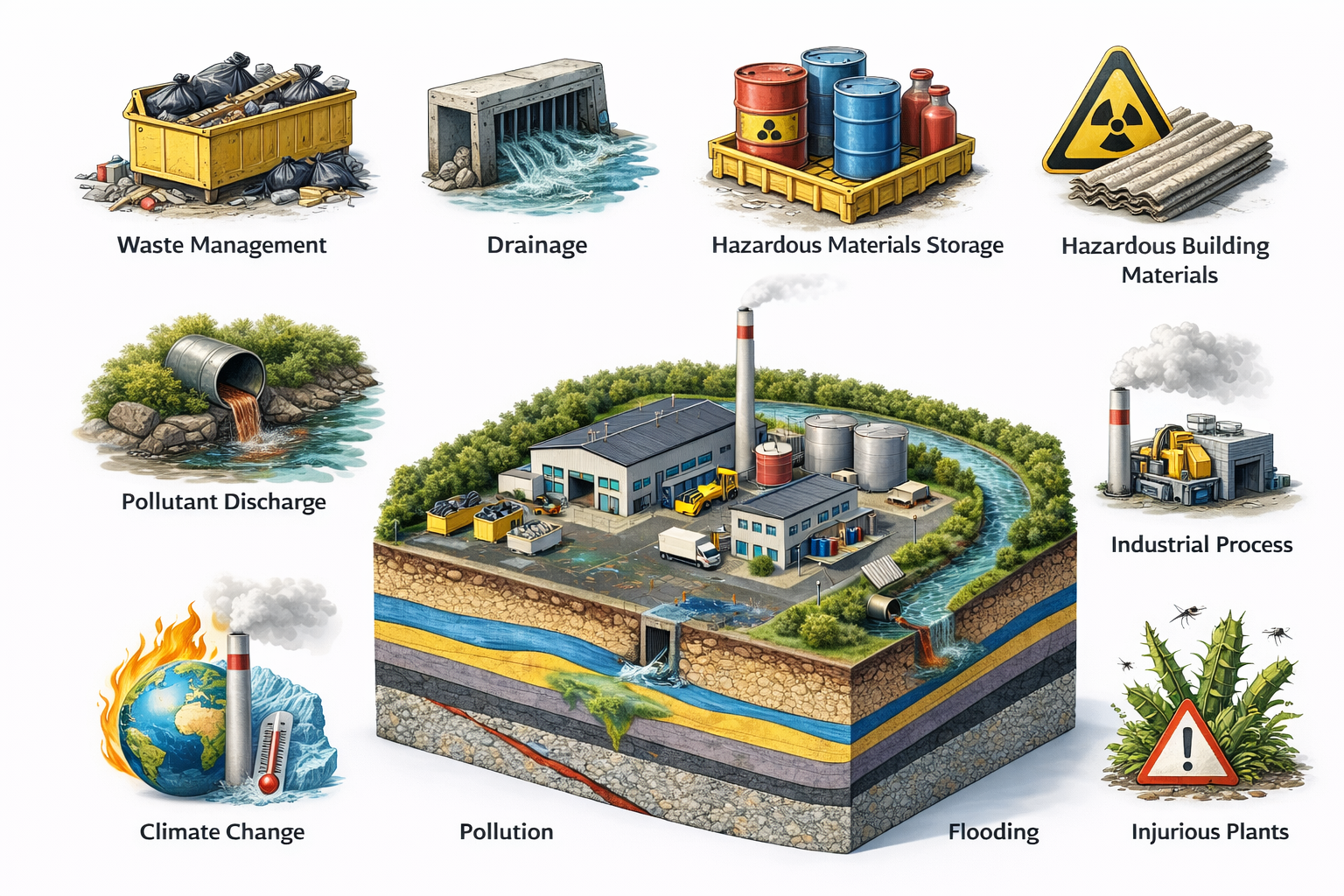
Environmental Risk Management
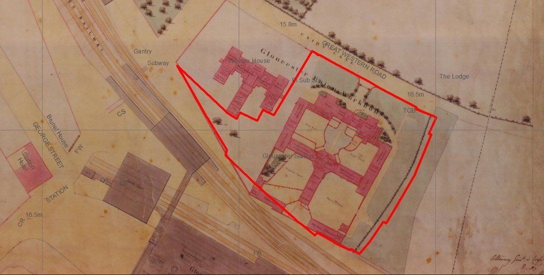
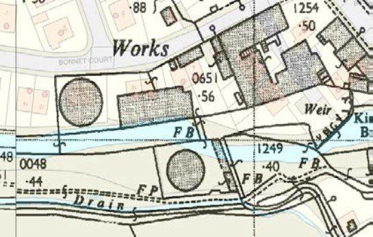
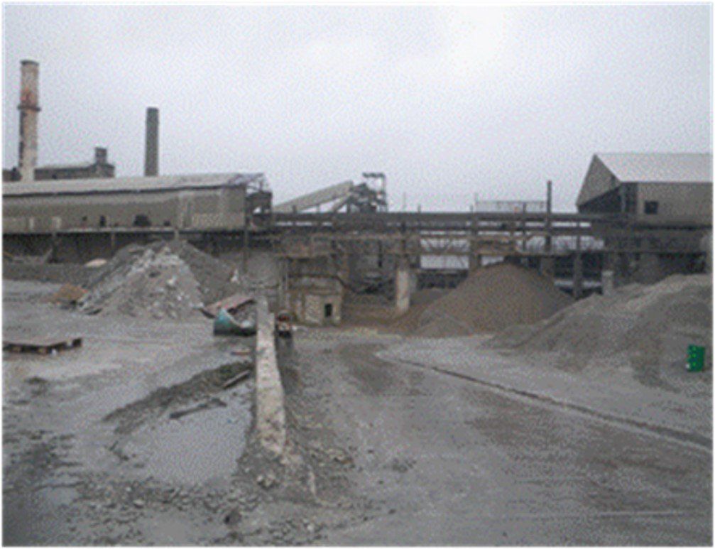
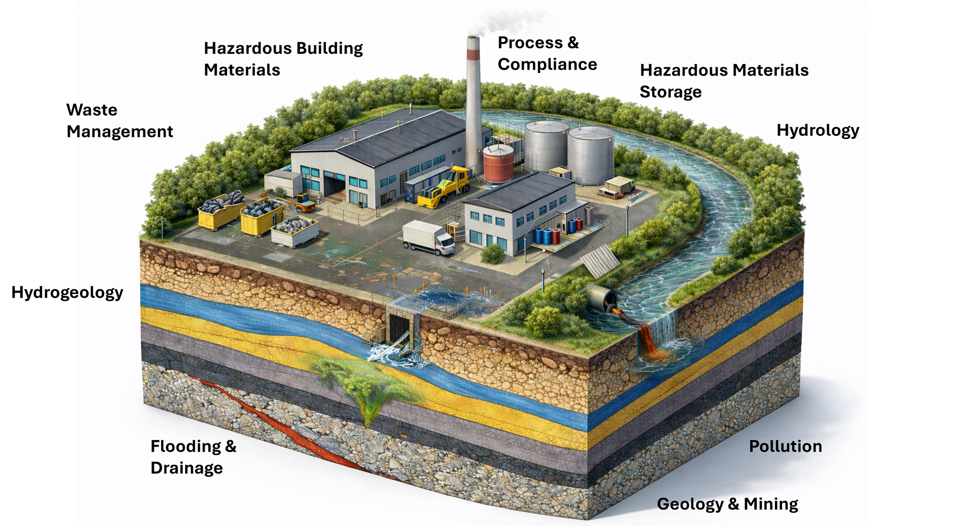
Acquiring land and property assets can present hidden business risks. Access Environment provides innovative assessment, management and solutions to allow you to make well informed investment decisions to mitigate future financial or regulatory liabilities.
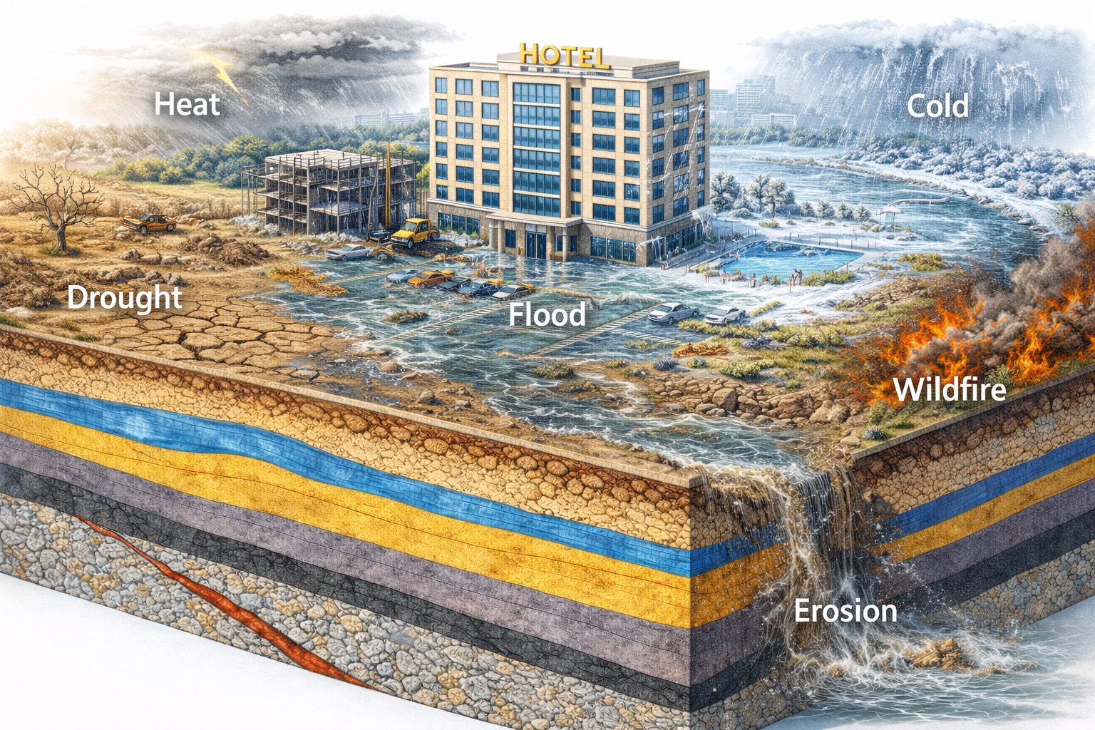


Climate Risk & Resilience
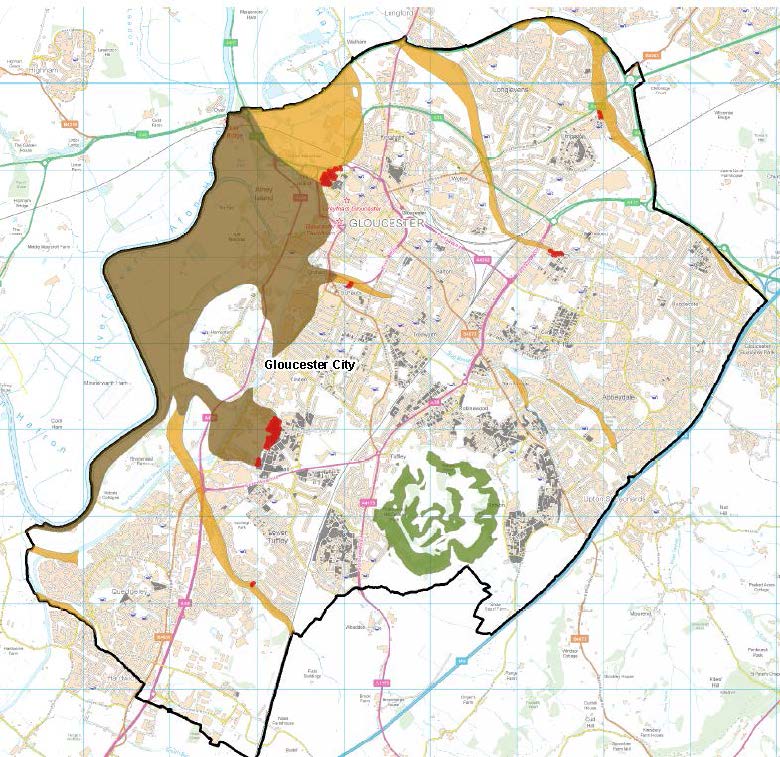
Your assets are potentially vulnerable to climate change impacts including from flooding, drought, coastal erosion or storm. Access have a range of products and solutions to support risk assessment and management.


Asset Management
Innovative asset management through the integrated application of Advanced Survey, Data Analysis and Artificial Intelligence.
